This project was conducted within the oil palm plantation area of PT. Perdana Sawit Plantation as part of land management optimization and development planning.
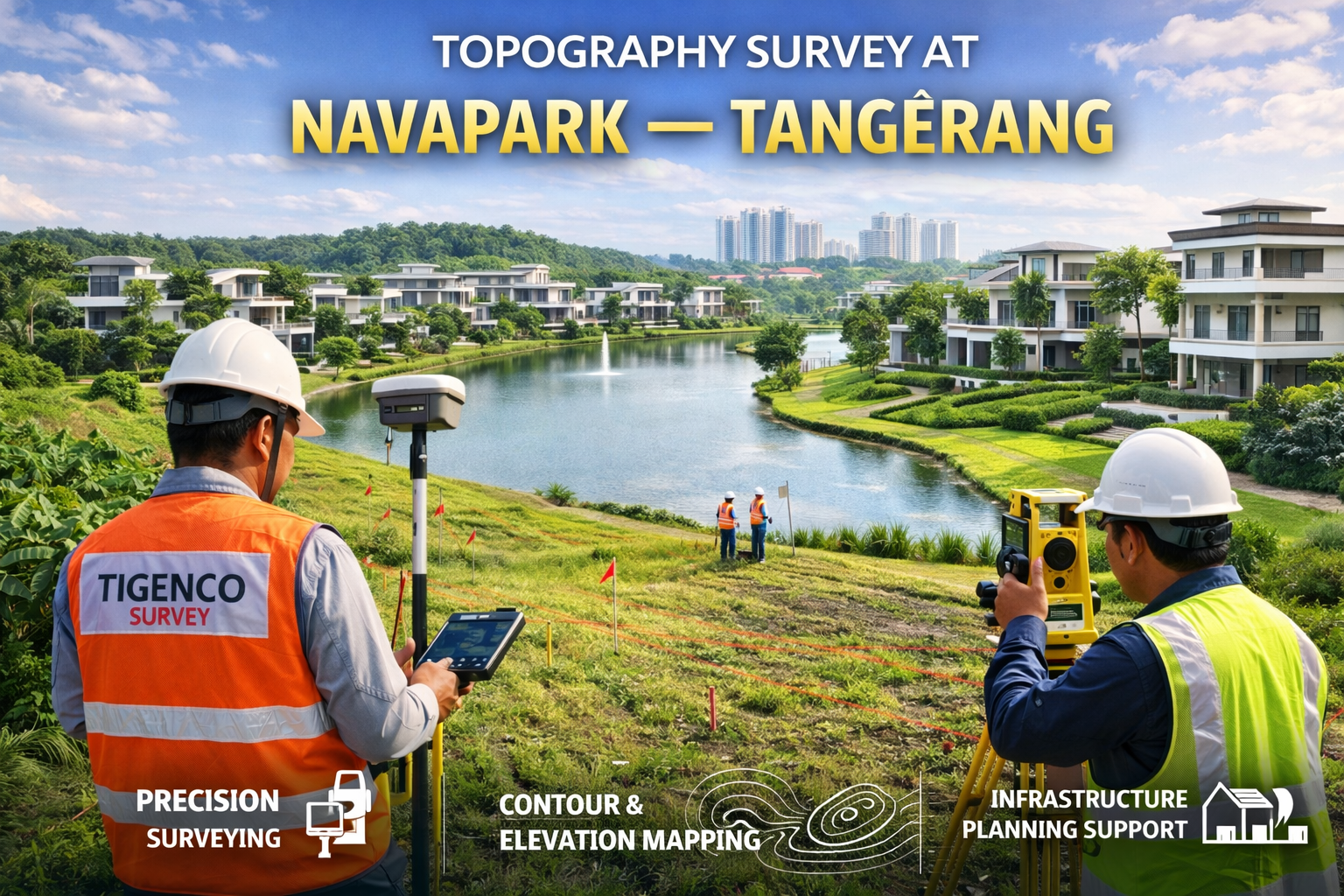
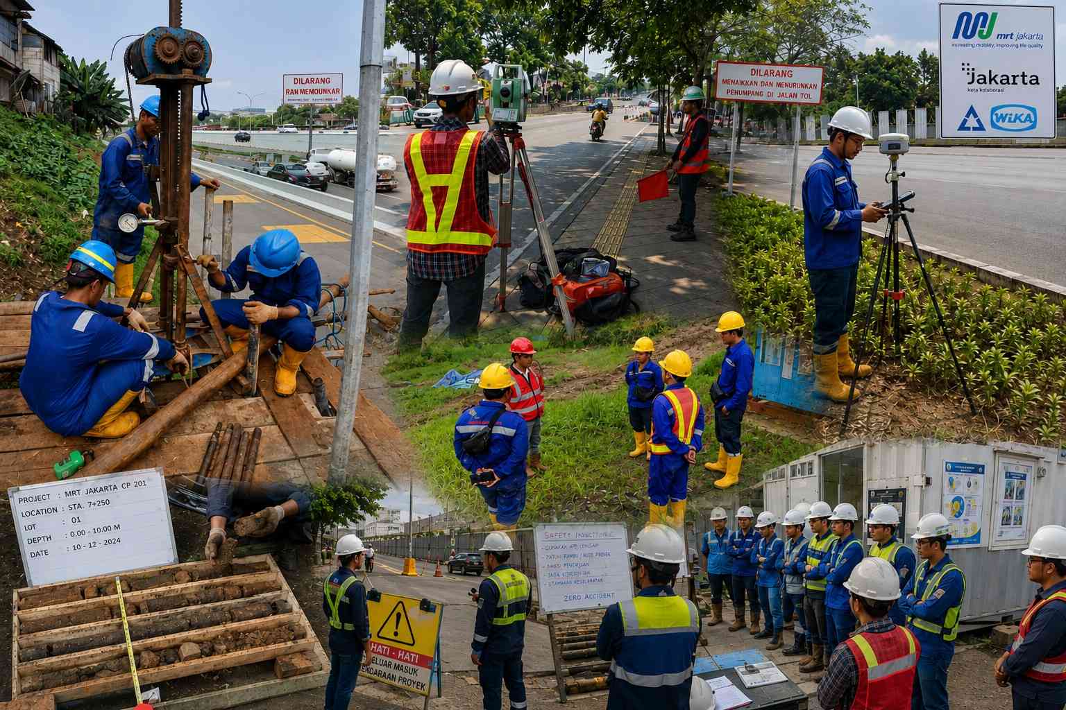
In this work, PT. Tigenco Graha Persada employed a combination of Drone LiDAR technology and terrestrial surveys using GNSS RTK to obtain highly accurate and comprehensive topographic data. This integrated approach allowed wide-area mapping with high detail and precise ground validation to ensure the accuracy of elevation models and contour representations.