Advanced Analysis and ManagementYour Trusted Partner in Surveys, Geology and Engineering.superbYour Trusted Partner in Surveys, Geology and Engineering.
About Us
Established in 1985, PT. Tigenco Graha Persada began as a company specializing in survey and mapping services.
Over the years, we have expanded our expertise to include Geotechnical Investigation, Geology, and Engineering Design, enabling us to provide comprehensive solutions across various sectors.
With more than four decades of experience, we continue to uphold our commitment to quality, reliability, and innovation, delivering precise and efficient results in every project — from terrestrial and aerial surveys to ocean-hydrography and coal exploration.
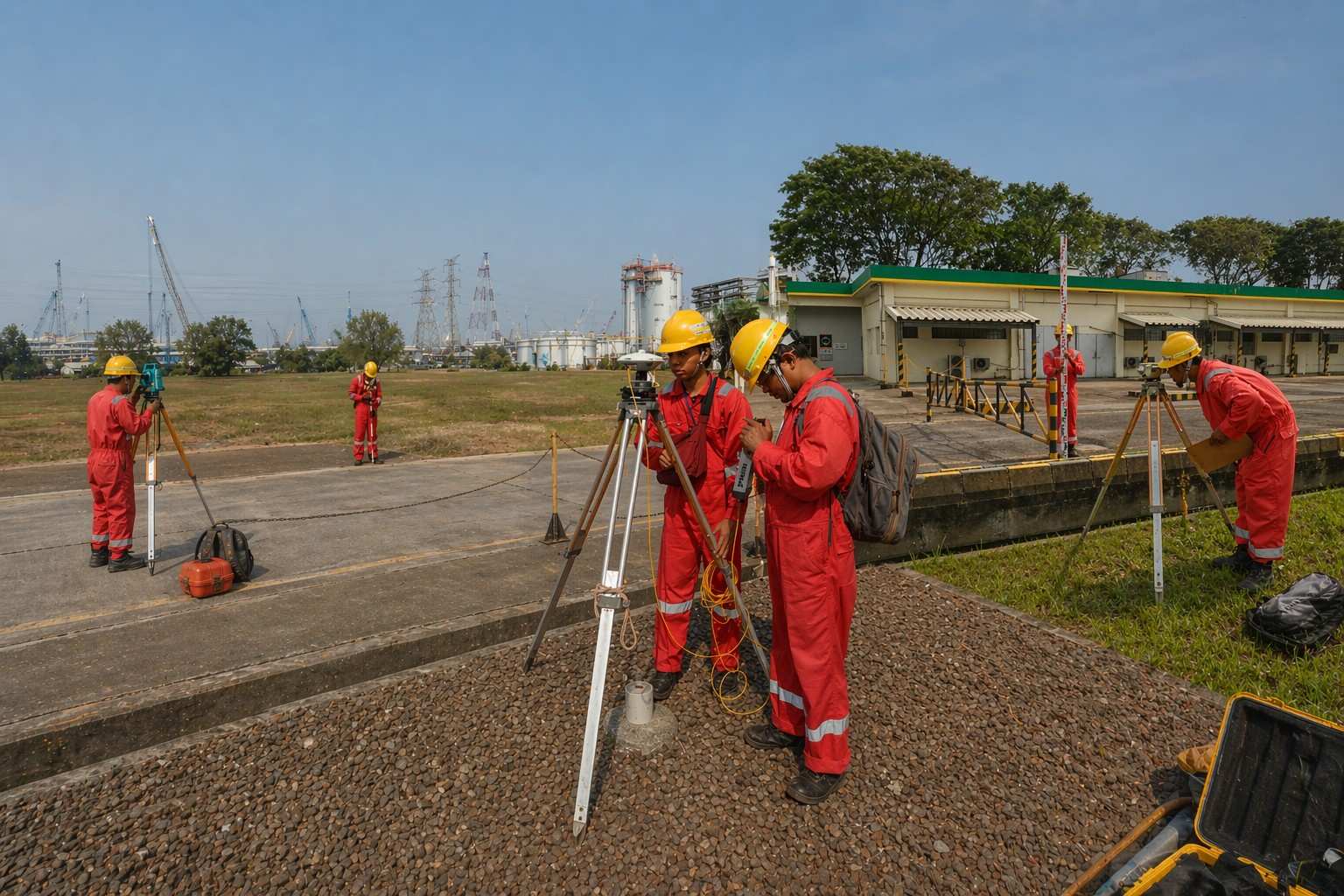
Our Core Services
At PT. Tigenco Graha Persada, we deliver specialized services designed to meet industry demands with precision and proven expertise.
Surveys, geotechnical investigations, geospatial mapping, and geology/exploration.
How long has Tigenco been in operation?
Tigenco has over 30 years of experience in survey and investigation services.
What industries or clients does Tigenco serve?
Tigenco serve government institutions, oil & gas, mining, infrastructure, contractors, developers, foreign aid organizations, geotech consultants, and more.
Where does Tigenco operate / perform projects?
Primarily in Indonesia, on projects ranging from regional infrastructure to national-level mining, energy, and geospatial works.
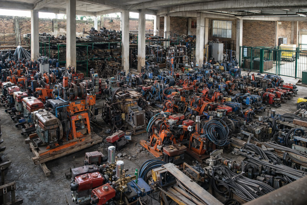
What equipment and laboratory capabilities does Tigenco have?
A central soil mechanics laboratory plus 4 onsite labs
15 rotary drilling rigs and 29 wireline rigs
Cone penetration rigs
Satellite / drone / LiDAR and geospatial instruments
")
")
")


")
")
")